
TL;DR

Get school and study supplies delivered free — and shop member deals
- Fast, free delivery on millions of items
- Access to Prime Big Deal Days deals on October 6–7
- Prime Video, Amazon Music and more included
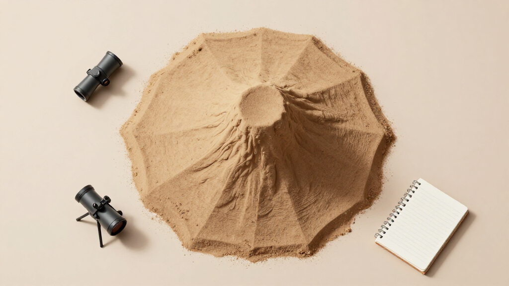
A recent high-resolution image captured by Mars orbiters shows a sand-capped butte rising from a plain characterized by polygonal terrain. This finding suggests ongoing geological processes and provides fresh data for planetary scientists.
A high-resolution image captured by Mars orbiters shows a sand-capped butte rising from a plain marked by polygonal terrain. This visual evidence confirms the presence of active geological features on Mars, offering new clues about the planet’s geological history and current activity.
The image, taken by the Mars Reconnaissance Orbiter, clearly depicts a butte with a distinct sand cap emerging from a terrain of polygonal formations. Scientists from NASA’s planetary geology team say this formation indicates recent or ongoing geological activity, possibly related to subsurface processes or erosion. The butte’s elevation and the sand cap’s composition suggest that sediment deposition and wind erosion are shaping the feature. While the image confirms the physical presence of this formation, its precise age and the processes responsible remain under investigation.Researchers emphasize that such features are valuable for understanding Mars’ geological evolution. The polygonal terrain, often associated with permafrost or volcanic activity, provides context for interpreting the butte’s formation. The discovery was announced alongside the release of the high-res image, which has already generated interest among planetary scientists.NASA scientists caution that further analysis, including spectral data, is needed to determine the composition of the sand cap and the exact mechanisms behind the butte’s emergence. The image is part of ongoing efforts to map Mars’ surface features in high detail, aiming to identify signs of active geology and past water activity.Implications for Mars’ Geological Activity
This discovery provides evidence of recent or ongoing geological processes on Mars. The presence of a sand-capped butte emerging from polygonal terrain suggests active erosion, sediment transport, or subsurface movements. Such features could indicate that Mars is more geologically active than previously understood, which has implications for understanding the planet’s history, including its potential habitability and climate evolution.
These features can assist in selecting sites for future exploration, potentially containing preserved signs of past water activity or biological potential. The findings may influence the choice of landing sites for upcoming missions focused on Mars’ geological and environmental history.
As an affiliate, we earn on qualifying purchases.
Recent Discoveries of Mars’ Surface Features
Over the past decade, Mars missions have documented a variety of surface features suggestive of geological activity, including recurring slope lineae, gullies, and polygonal terrains. The polygonal plains are often linked to permafrost, volcanic activity, or tectonic stresses, and have been observed in regions like the northern plains and the southern highlands.
The recent high-res image builds on this body of evidence, providing a detailed view of a specific formation—a sand-capped butte—rising from a polygonal plain. Such features have been hypothesized but rarely captured in high detail, making this image a significant milestone in Martian geology research. Prior studies have suggested that erosion and sediment deposition continue on Mars, but direct visual confirmation like this enhances understanding of active surface processes.
As an affiliate, we earn on qualifying purchases.
Unconfirmed Details About Formation Age
Researchers are currently analyzing spectral data to determine the composition of the sand cap and to assess whether the feature is actively changing or represents a relic of past activity. The exact timing and mechanisms behind the emergence of this feature remain under investigation.
As an affiliate, we earn on qualifying purchases.
Upcoming Analyses and Future Mars Surface Surveys
Scientists plan to conduct detailed spectral and topographical analyses to better understand the composition and age of the butte and its sand cap. Future Mars missions, including orbiters and landers, may target this region for on-site investigation to confirm active processes and search for signs of water or biological activity. Continued high-resolution imaging will also monitor potential changes over time, helping determine whether the feature is evolving.
As an affiliate, we earn on qualifying purchases.
Key Questions
What does the sand-capped butte tell us about Mars’ geological activity?
The feature suggests that Mars may still be experiencing active erosion or sediment transport, indicating ongoing geological processes.
How was this high-resolution image obtained?
The image was captured by NASA’s Mars Reconnaissance Orbiter using its HiRISE camera, which offers detailed surface imaging.
Why is the polygonal terrain significant?
Polygonal terrain is often associated with permafrost, volcanic activity, or tectonic stresses, providing clues about Mars’ geological history.
Currently, there are no direct signs of water activity linked to this specific formation; further spectral analysis is needed.
What are the next steps for studying this feature?
Scientists will analyze spectral data, monitor for changes, and plan targeted missions for in-situ investigation to better understand its formation and significance.
Source: hn
Halloween Picks
halloween
As an affiliate, we earn on qualifying purchases.